© Laurel Ramseyer
© Laurel Ramseyer
Album of Boulder Creek (upper Lk. Mills) Field Trip
The eighth spider collecting trip (19 June 2008) of the Elwha River Biological
Survey concluded with a 2-mile (each way) hike in to the mouth of Boulder Creek near the upper end of Lake Mills. This area will change greatly when the reservoir is drained. We found it to be a moderate-depth canyon changing abruptly into mini-delta where the stream meets the lake. Several habitats were productive of spiders. Photos by Laurel
Ramseyer and Rod Crawford.
| READ TRIP NARRATIVE | PHOTO ALBUM INDEX | MAIN JOURNAL INDEX |
 |
 |
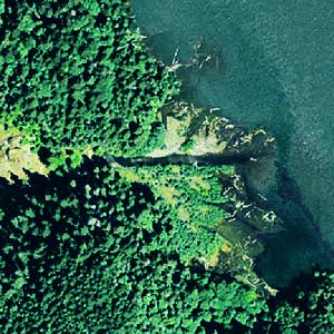
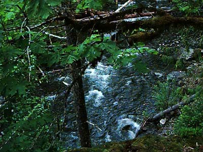
| Mouth of creek on 2005 aerial photo (Clallam County) | First view into the canyon © Rod Crawford |
 |
 |
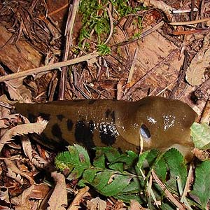
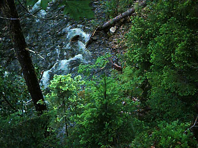
| Banana slug with big pneumostome © Laurel Ramseyer | Tree tops below me in the canyon © Rod Crawford |
 |
 |
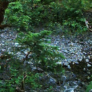
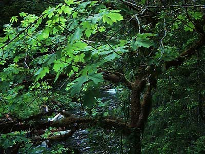
| Gravel bar seen from above ©Rod Crawford | Maple tree on canyon wall © Rod Crawford |
 |
 |
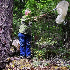
| Rod beating conifer foliage © Laurel Ramseyer | Douglas-fir & western hemlock foliage © Rod Crawford |
 |
 |
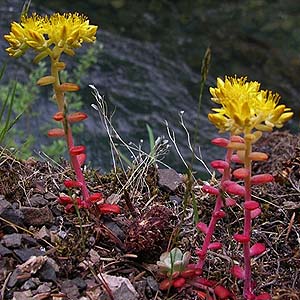
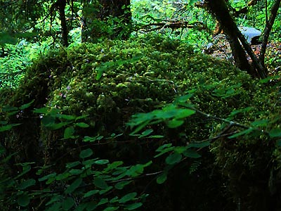
| Sedum spathulifoium © Laurel Ramseyer | Moss-covered boulder © Rod Crawford |
 |
 |
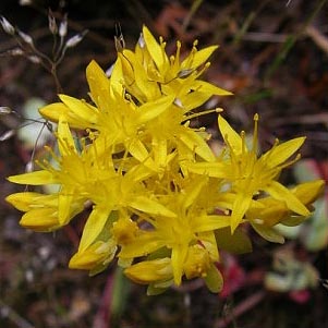
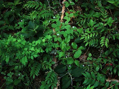
| Sedum blossoms © Laurel Ramseyer | Very productive forest understory © Rod Crawford |
 |
 |
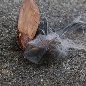
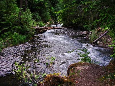
| Drassodes neglectus in retreat © Laurel Ramseyer | Boulder Creek, view upstream © Laurel Ramseyer |
 |
 |
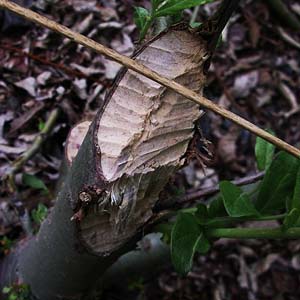
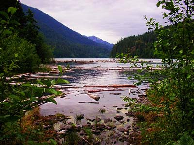
| Why beavers don't need toothbrushes © Laurel Ramseyer | Boulder Creek meets the reservoir © Laurel Ramseyer |
 |
 |
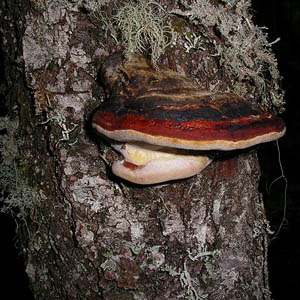
| Shelf fungus on snag in forest depths © Laurel Ramseyer |
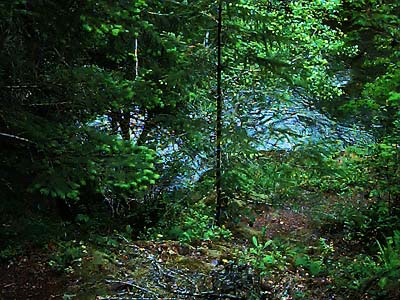
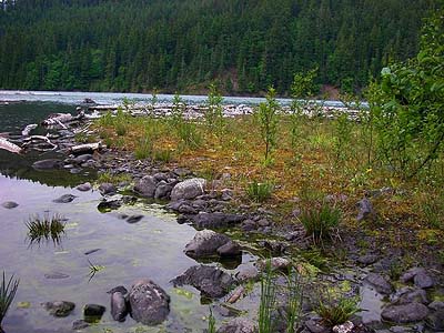
Shoreline habitat where creek meets lake will change drastically © Laurel Ramseyer |
This page last updated 4 February, 2009